See the weather before it obscures your winshield
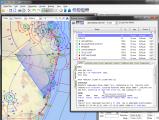 When you get an ARFOR from naips there often are descriptions of weather lines, such as a front or trough.
Figuring out where these are in relation to your flight can require a bit of detective work and cross-referencing to the PCA.
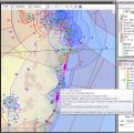
Flight Solver recognizes these weather lines, highlights them in the ARFOR. If you then click on them they are highlighted on the map.
Weather to fly or not to fly — That is not a question
Flight Solver not only retrieves the briefing from naips, but interprets it as well, classifying it into 'good', 'bad' or 'ugly'. This Weather Censor process is user configurable.The results of the classifications are immediately shown by means of colour markers
- On the map
-
The weather markers are displayed as diamonds on the on the map.
Floating the mouse over a briefing location will show the TAFs and METARs as a floating tool tip on the map.
- On the plan form
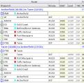
- The weather markers are also displayed on the flight plan form, so you get a good appreciation of what you will encounter on the trip.
- In the briefing viewer
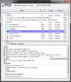
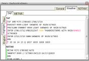
- In addtion to showing the icons in the briefing list, the elements that cause a briefing to be classified are coloured in the detail view of the TAFs and METARs.
- On the checklist
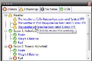
- The checklist will also display errors, warning or notes according to how the weather censor has been configured.
- In the detail window
- Clicking on a briefing location will display weather and NOTAMS information in the detail pane for the waypoint detail window
Different Formats
Weather is presented in three different, user selectable, formats:- Raw
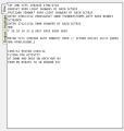
- This is the format as it came from naips. It is provided for compatibility's sake only.
- Interpreted format
- This looks similar to raw format, but censored portions (such as reduced visibility) are highlighted in colour and floating the mouse over the coded text will show the real meaning of the item.
- English
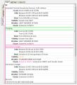
- TAFs and METARs are translated into completely human readable form with all the codes replaced by text.
Select what to print
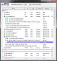 The briefing viewer can sort the results by proximity to route, allowing you to quickly select and print all the locations that are relevant to the flight.
Within a given location you can even elect to not print some NOTAMs or other items, if you feel that they have no relevance to you.
Content
Copyright © 2011 - 2012 Jensware Pty Ltd


